Lade Informationen...

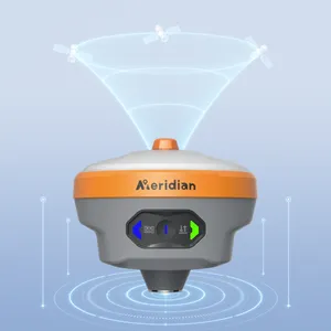
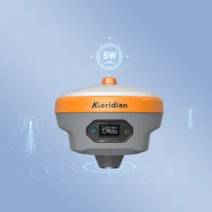
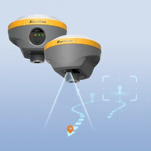
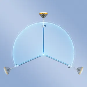
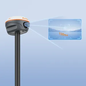
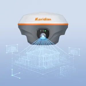
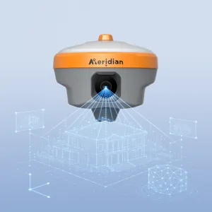
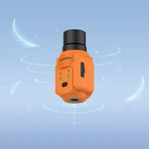
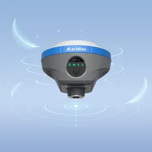
M25 is a high‑precision laser‑equipped GNSS RTK that integrates 120 m ultra‑bright laser ranging, full‑constellation GNSS, AR‑assisted stakeout, a high‑definition camera, a 120° calibration‑free IMU, and 4G connectivity. Its advanced long‑range, non‑contact measurement capabilities make it easy to capture accurate coordinates at inaccessible, GNSS‑denied, or hazardous locations. Combined with a real‑time status display screen, AR‑guided stakeout, and survey‑grade laser measurement, the M25 delivers a smarter, safer, and more efficient solution for bridge, municipal, river, and beyond.