Loading...

- Exhibitor Information
- Exhibitor list
- Conference Program
- Expo Stages Program
- Show more

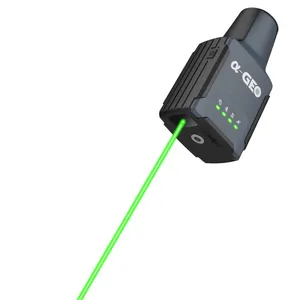
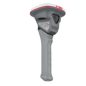
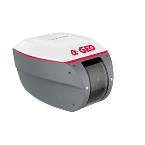
Falcon X-a groundbreaking surveying mobile terminal that integrates GNSS, high-precisionvision modules, and LiDAR systems to redefine traditional RTKworkflows. By combining SLAM technology with high-accuracy RTKand a powerful core processor, it delivers real-time point cloudcoordinate calculations and establishes a unified coordinate systemacross both indoor and outdoor environments. With no need for post-processing, the data is immediately ready for engineering design, greatly improving efficiency and precision.