Lade Informationen...

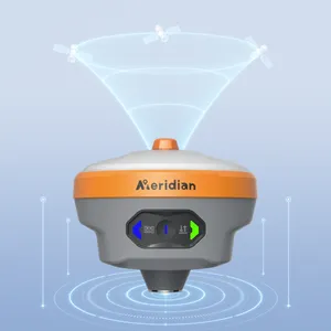
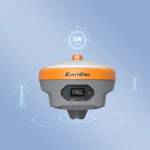
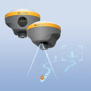
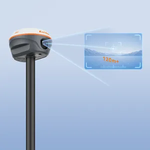
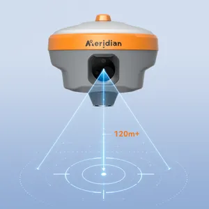
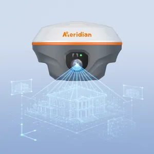
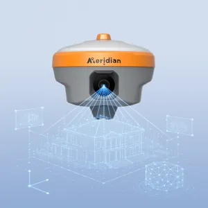
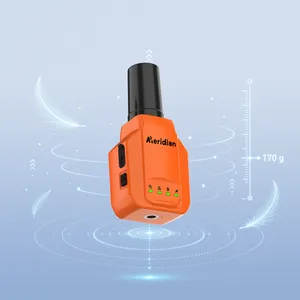
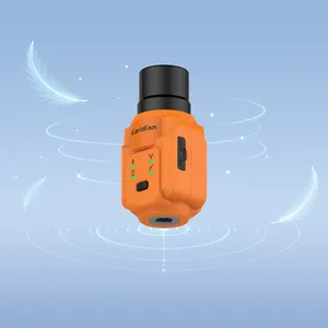
SuperRTK integrates innovative SLAM technology on GNSS Receiver, with high-precision Lidar scanning, and real-time point cloud processing into one powerful platform, Realize a 5cm accuracy for a indoor GNSS surveying without Satallites signal. With a true 1:1 scan-to-processing workflow, it delivers accurate and color-rich point cloud data for indoor-outdoor mapping, underground surveying, building documentation, and complex 3D reality capture, significantly improving productivity and project turnaround times.